
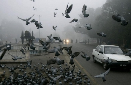

January is the annual winter month in Pakistan where temperatures drop to their lowest point while the number of rainfall days is high in many parts of the country especially north-western Pakistan but southern parts mostly remain dry with cool winds. The central Asian winds dominate the country that move into north-western India as well. A look at the weather!
Pakistan Weather Outlook
Following are the factors surround Pakistan as of January 14;
*Western disturbance is over Afghanistan and adjoining Iran.
*Dry winds over southern parts extending into Gujarat and Rajasthan, likely to shift.
Western disturbance: Pakistan awaits Snowfall and Rainfall
Pakistan Weather Portal (PWP) forecasted Western Disturbance 15 on January 6 ( In Daily Updates) about its possible movement towards Pakistan. According to the rule of PWP, this winter winds have been numbered as “15”. Western Disturbance 15 would affect the country from January 13 night till January 17 morning, however it would affect northern parts from January 14. WD 15 is likely to cause rainfall with scattered moderate falls in many parts of Pakistan (central and northern), while snowfall is expected in mountainous regions of Pakistan too. Overall rainfall would be accompanied by fast winds.
Isolated thunderclouds forming west of Sindh may cause drizzle/spotty showers in Upper and Lower Sindh (Including Karachi) on January 14 and January 15. In Karachi, humid winds likely to raise the temperature till January 15 after that a decrease is expected.
Cloudy activity due to western winds

PWP reports that clouds are continuously penetrating into Punjab (whole), Khyber (whole), Azad Kashmir (whole), Gilgit-Balistan (whole), north-western Balochistan and stray clouds over western Sindh that are having difficulty moving further inward or intensifying due to dry winds thus resulting in dissipation. This is what is happening today!
The Portal believes that cloudy activity would remain same over the country with increase in the number of thunderclouds from tonight (January 13) in western Balochistan having level of precipitation. These thunderclouds would start to gain strength from January 14 over northern and central parts of Pakistan as Western disturbance moves into Pakistan. Some clouds may also cause isolated drizzle/showers in upper and lower parts of Sindh on January 14 and January 15 as moist winds move inland. (Picture on the left shows WD 15 is reaching in the country)
New activity after WD 15?
A total of three WDs were expected in the month of January with WD 14 affecting Pakistan early this month and WD 15 expected to enter the country tonight. PWP expects a Western Disturbance 16 that would be impacting Pakistan from January 20/21.
