

January has seen about five western disturbances in Pakistan uptill now with 2 to 3 cold waves that affected whole country however last week of January has been slightly warmer and drier than starting weeks but all that is about to change again.
Summary of Western disturbance
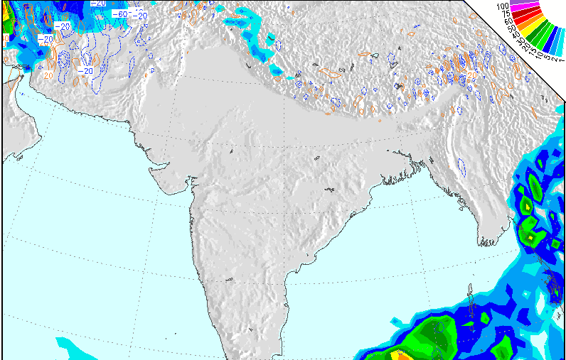
A total of 17 rainy waves have affect the country since October 5, 2011 till January 27, 2012 but with varying intensity. Following are those waves in January;
In the month of January
- Western disturbance 14, the first rainy wave of January reached the country on January 3 till January 8, showers with varying intensity occurred across the country. Drizzle occurred in Karachi on January 5 while isolated shower occurred in Lahore on January 6. WD 14 caused rare snowfall at Maragalla hills after six years.
- Western disturbance 15 affected the country on January 13 till January 17, moderate showers occurred in Islamabad and Peshawar.
- Western Disturbance 16 entered the country on January 21 till January 23, it caused second winter drizzle in Karachi on January 22 while caused moderate intensity showers in many parts of the country including Balochistan, Khyber, Gilgit, Punjab and Sindh. It caused rainfall in Islamabad on January 23. It caused heavy rainfall along Makran coastline.
- Western Disturbance 17, identical twin of WD 16 entered Pakistan on January 24 and entered Nepal on January 27. It caused third winter drizzle in Karachi on January 26 morning.
- Western disturbance 18 entered Pakistan on January ?
Highest number of Western disturbance were recorded in the month of January and October in Pakistan.
The path of Western Disturbance 18
Western disturbance 18 is likely to enter Pakistan from neighbouring countries (Iran) on January 30 and it would first impact western Balochistan including Quetta and from here it would take a sharp northerly path towards Khyber province instead of NE and would weaken considerably as it reaches the northern areas of Pakistan that includes Gilgit and Indian Kashmir on January 31/February 1.
Effects on provinces
The intensity of this wave is weak to slightly above, though it could yield some moderate snowfall/rainfall in Balochistan but not much precipitation seems to move into other parts of the country. Much of the precipitation would remain confined to Balochistan. Islamabad will see some cloudy activity during the period along with Peshawar. Lahore, Multan and Karachi would have a clear sky.
There does not seem to be any major impact on temperatures this week in the country and they are being expected to remain same.
That is the end of this wave but another wave will also approach Pakistan soon!
The path of the Western Disturbance 19 – Issued on January 29

With the start of February, a new rainy wave would enter Pakistan that is large and has moderate to slightly strong intensity, it resembles WD 16 and WD 17 interms of cloud coverage over a country. It may enter western Pakistan (Balochistan) on February 2 night from Afghanistan and then move towards the northern areas of the country. It is likely to affect the country for 3 – 4 days, it will also influence the north-western parts of India from February 4 with cloudy intervals in New Delhi.
Effect on provinces
Cloudy activity over northern and some central parts of Balochistan is likely to continue due to the moisture left by WD 18 which would be enhanced by WD 19 from February 2 night. There are chances of heavy snowfall/rainfall with strong winds (56 km/h – 60 km/h) in Quetta and other parts of Balochistan during this period, from February 3 this activity would spread to other parts of the country including Punjab, Khyber province, Gilgit and Kashmir where moderate rainfall with fast winds (45 km/h) could occur, however heavy snowfall would occur over the northern areas of the country.
Rainfall is expected in Islamabad and Peshawar during the period, there are also chances of isolated shower in Lahore on February 3/4 however weather would mostly have passing clouds. In southern Punjab, partly cloudy weather is expected with slight chance of drizzle in Multan. In upper Sindh including Sukkur there are also slight chance of shower depending upon the thunder activity near the area and movement of WD 19 that is likely to affect the northern parts of the country after Balochistan. In coastal parts of Sindh including Karachi and Keti Bandar, sunny weather with few clouds could occur. Looks like the forth winter rainfall have wait for Karachi?
